AFAD IRAP - Provincial Risk Reduction Plan System
Java/OpenJDK based system developed for AFAD to monitor and evaluate provincial disaster risks. GIS integration and centralized reporting.
About
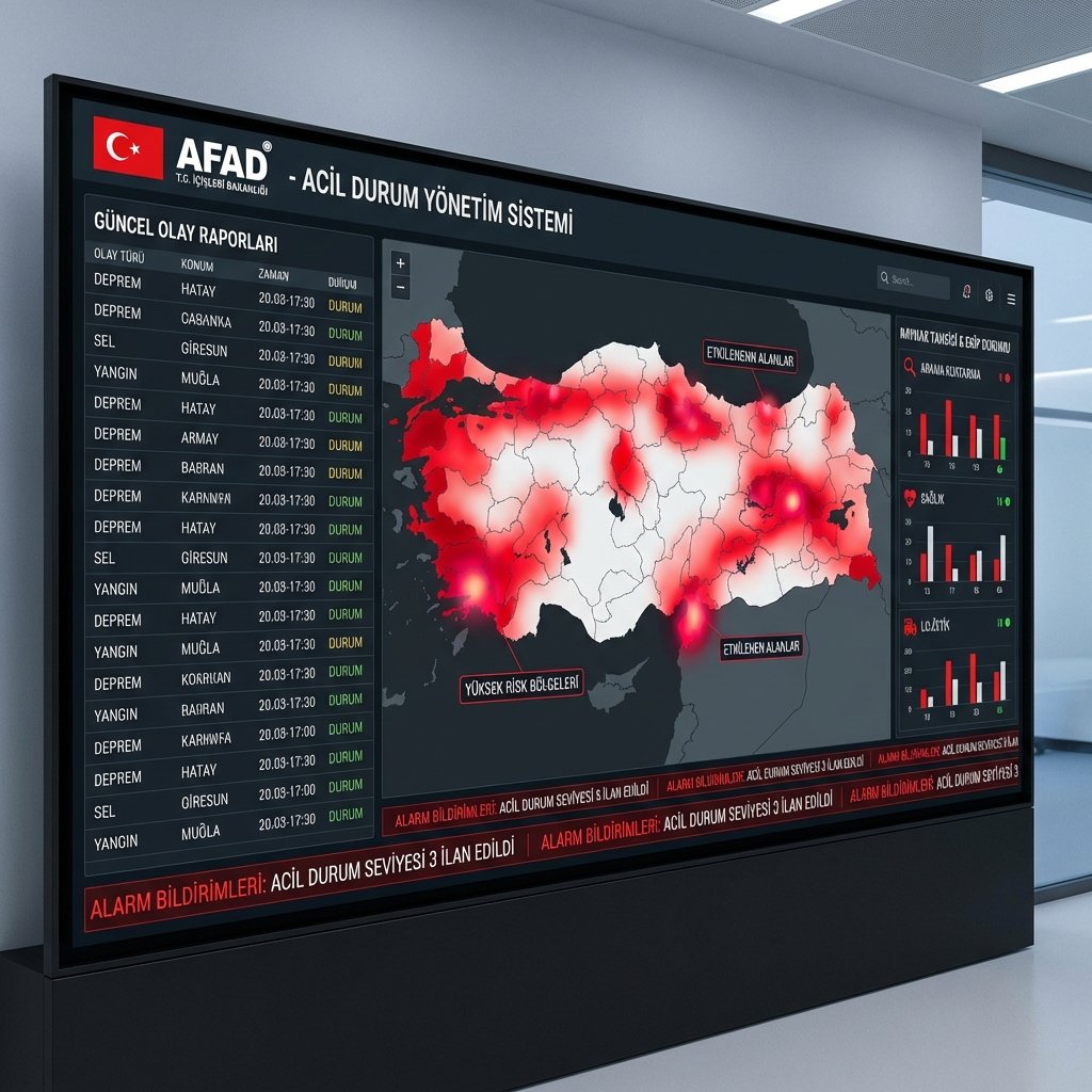
🚨 AFAD IRAP Monitoring and Evaluation System
Developed within the scope of Provincial Risk Reduction Plan (IRAP), this system centrally manages disaster risks, precautions, and action plans of 81 provinces.
🛠️ Technical Infrastructure
- Backend: Java Spring Boot (OpenJDK 11/17)
- Frontend: Angular based client
- Database: PostgreSQL / PostGIS
- Integration: MERNIS, TAKBIS and Meteorology integrations
⚡ Core Features
- 📍 GIS Based Risk Maps: Mapping of provincial risk zones
- 📊 Action Plan Tracking: Progress status of actions assigned to institutions
- 📈 Performance Indicators: Analysis of IRAP target achievement rates
- 📑 Automatic Reporting: Detailed PDF report generation by province and region
Frequently Asked Questions
Which disaster types are supported?
Is there mobile field team support?
How does the early warning system work?
What are the resource management features?
Related Products

AI Beauty Cloud
🚀 All-in-one SaaS platform for hair salons and beauty businesses. Appointment management, AI hair styling preview, WhatsApp notifications, stock tracking, staff commissions, and more.

AI Accounting Cloud
🚀 All-in-one cloud accounting platform for businesses. Invoice management, current account tracking, VAT reports, bank integration, and more.

AI Pdf Cloud
Cloud-based tool optimizing your batch PDF printing processes. Drag-and-drop upload, smart queue management, and secure browser-based printing.